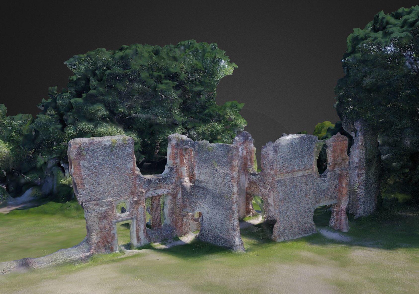
using a drone to create 3D models of historical ruins
At the weekend, I came across a cool new tool – Drone Deploy – which can be used to create 3D images (and more) by stitching together hundreds of geo-tagged images taken with a drone. Whilst it’s early days in my… Continue Reading

